Day 3: Linville to Nanango
It was 0 degrees in Linville this morning, obviously a chilly start to our ride, but we soon warmed up as the first 23 kilometres was unrelentingly up to Blackbutt (400 metres higher). We passed quite a few people going in the sensible direction.
After a stop at the bakery for Belgian rocky road for Ray, he assured me that the next bit to Yarraman would be downhill. I admit that there was some downhill, but it was into a strong headwind. There were also some steep gullies to negotiate and at the bottom of one, Large rocks were arranged so that unsuspecting cyclists could kill themselves. I did try, but only managed some scraped shins. At least we had enough bandaids.
After a tasty hamburger in Yarraman, we set off to find the stock route to Nanango. It only took us half an hour. None of the maps indicated where it started, but finally we saw a sign which was facing the opposite direction to anyone who would be looking for it.
We set off for the last 20 kms at 2.45pm, and I was worried that we would be arriving after dark again, as it had been a slow ride to that point. I shouldn't have worried. The first 10 kms were mostly downhill on a good graded road. But then... a sign appeared with rough surface for the next 2 kilometres, and it was. We had to get off and walk a lot of it, and just as Ray said "at least it's downhill", it went steeply up.
Half way up a steep up bit, we met a farmer fixing a fence. Ray had to stop and talk about everything from the weather, fishing in Hervey Bay, house prices at Marcoola, the young people of today, cows and on and on it went. I could see the sun slipping further from view.
Several more big hills loomed and we did manage to reach 45kph on the downside. We rolled into the caravan park just before the setting sun. As usual all thoughts turned to food.
Turns out Nanango ain't much good for dining out on a Monday night. Both the pubs don't do meals on Mondays, which left Crusties Pizza or the Chinese takeaway. We opted for Chinese and surprised the staff by eating in. The meal was delicious and the cheapest dinner we have had by far.
After a freezing ride home from the nightspots, we are all snug with the reverse cycle airconditioner set to 24 degrees in our cosy cabin. Can't wait to get lost on all those back roads to Kingaroy tomorrow.
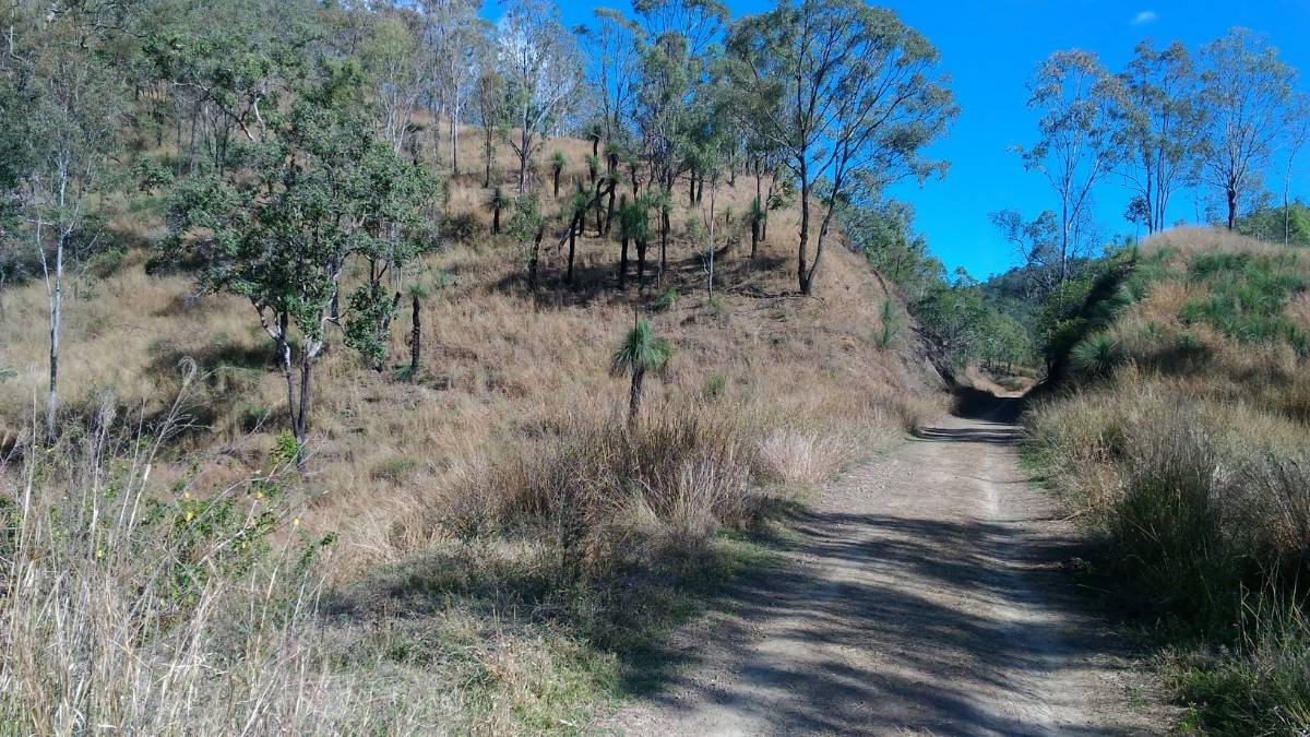
One of the distinctive motifs of the rail trail, the trail meandering through a small cutting. Just seeing this reminds one of earlier times when, if you had the good fortune to travel on one of these narrow gauge rail lines, the train would wobble up the line, the smoke hopefully avoiding the passenger cars, and you would be ensconced on a rather uncomfortable seat, aimlessly staring out of the countryside, possibly noticing a cow or a crop or a feature of interest. The world was a lot slower then, but riding through here on a bike can bring back similar feelings.
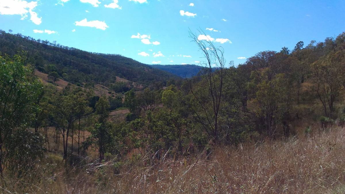
You may have been looking out at this - a partial view of the Brisbane Valley.
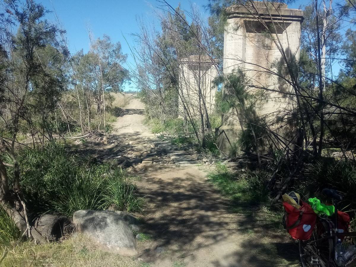
You can't see the blood on the big sandstone blocks, but I am sure there is some there. The big slabs had a pretty significant space in between them (stepping stone style - probably around 15cm - 6"), so you had to make sure you had your steering under control. I was going across prettly slowly and carefully when, apparently, Brenda looked up and saw my back wheel. Just a slight turn of the handlebars at the wrong time funnelled the wheel into one of the gaps the wrong way. Result? One very annoyed person lookiing for band-aids whilst simultaneously trying to retrieve the bike from the mini ravine.
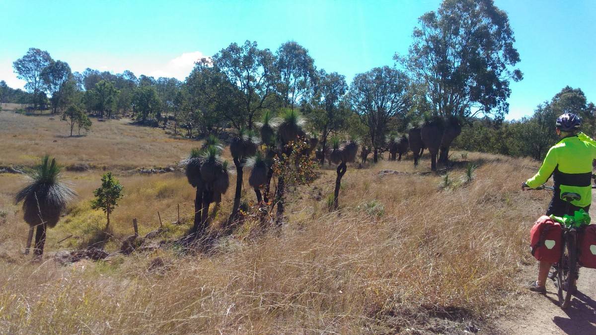
There were quite a few clumps of black-boys (do they still call them that - may they should be grass trees - whatever) along the trail. Some were well over 2 metres tall. Brenda reckons they grow at 1cm per year. That would make them over 200 years old. Do you buy that?
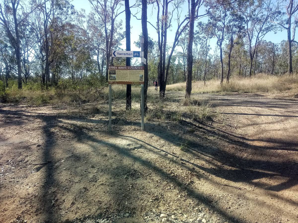
When researching this ride, the journey between Yarraman and Kingaroy needed to be on some quieter roads - we did not want to have to deal with too much traffic. Luckily, both the BVRT people and South Burnett Shire Council trumpeted "The Link Trail" as a safe and interesting route. One would think that with all that there would be some clues as to where to look for the start of this Link Trail. After searching for 30 minutes for any sign or instruction of what direction we needed to head, we finally stumbled on a sign that gave us some info. Then after riding for 4 or 5 klms we finally found the much promised signage which was supposed to keep you on track.
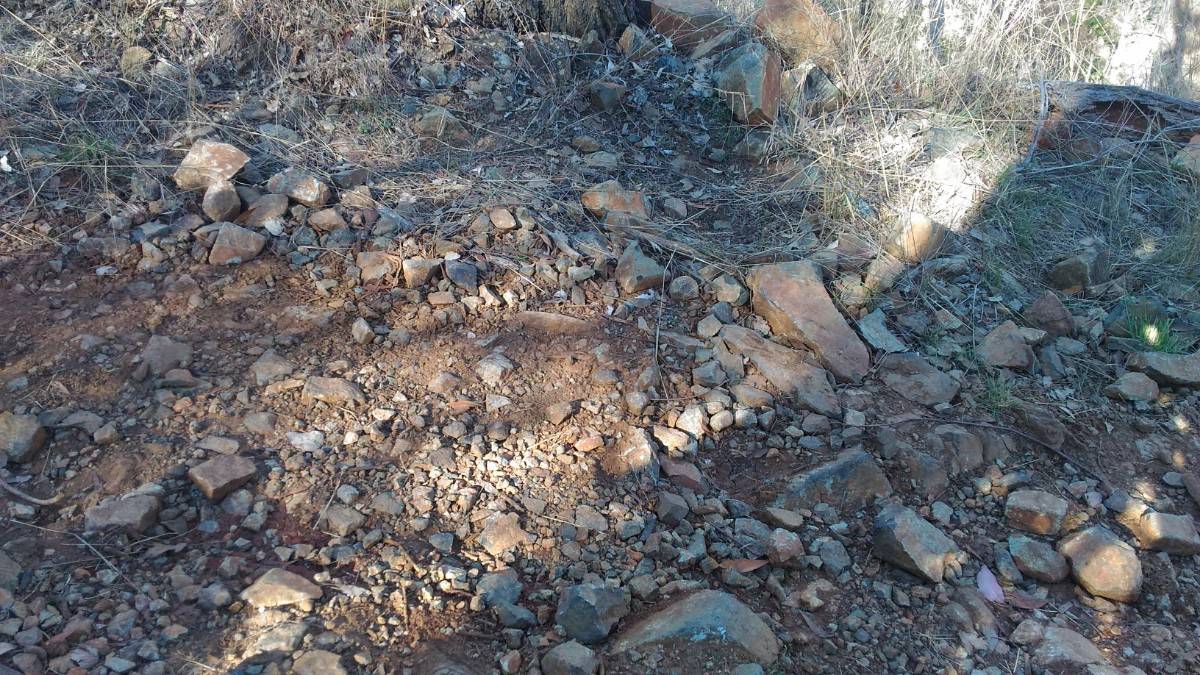
A section of trail 2klm in length was supposed to be very rough and rocky. They failed to mention that that was the rough section in their shire. When you crossed the shire boundary, there was another 1 klm of this. Fortunately we were interrupted by a farmer fixing a fence, giving us a little recovery time.