No Cake at Lake Ohau
It was a very easy ride to our lovely house in the village at Lake Ohau. Picture perfect views, but unfortunately, no shop to buy food. I sent Ray out on reconnaissance and he made it to The Lodge, but unless we wanted to run ride a further 5 kms up the road and back up the very steep hill to our digs, and cough up $100 for dinner then we weren't going to get any food. A quick rummage around in the house pantry led us to some two minute noodles, that were only 1 year out of date. We also found some other noodles with a use by date of 2014.
So it was an entree of cheese and bickies left over from lunch, followed by noodles, and then some chocolate for dessert. A veritable feast! This morning's breakfast was a bit light on - the rest of the cheese and bickies and one shared mandarin. We were going up to the highest point on the trail, so had a few nuts and chocolate to sustain us on the way. The ascent to 900m would have been ok if it wasn't for the rough shingle, big rocks and very thin path on the edge of the precipice. I had to get off and walk a few times, not because of the steepness, but because of the rough goat track that they call a bike trail. Had to get off and walk down bits as well.
We passed a lone Aussie on the path who had decided to walk all the way up. He didn't have the right bike or the breath to get him up. We estimate that it would have taken him about 4 hours to get over the mountain, and then another 3 to arrive here at Omarama. Hope he made it. We took 5 hours to do 45kms, which is really slow going, but hey, we made it, and only on a bit of chocolate and some nuts.
Just got back from having some real food at the Wrinkly Ram, next door to where we are staying. I had some excellent fresh salmon (it's a fishing Mecca around here), as I couldn't bear the thought of eating one of the zillion cute little lambs that we have passed along the way.
Oh well, another adventure tomorrow. I do hope the wind is with us for the next 64km journey. And if we never see another rough shingle path again, we won't be sorry.
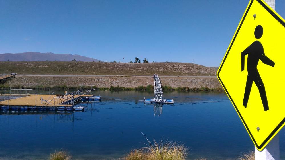
There are a series of canals which link a number of related hydro electric projects together - all relying on the melting snow of aoraki/Mt Cook and surrounding mountains. Together they supply about 35% of NZ's energy usage and were built mostly in the 60's. This canal connects Lake Pukaki and Lake Ohau (prn O-How). As seen in previous pics, the waters of the canals are usually crystal clear. This is the end of a trout farm which has about 15 sets of nets and runs for a couple of hundred mtrs along the canal (the water is not quite as clear in this section). Fishing is popular in the canals and one enterprising fisher decided to increase their chances of catching something by slashing the nets in one of the ponds nd releasing all the farm fish into the wilds of the canal - chances are most of them did not survive. I took this shot because there were about 40 large birds (big NZ gulls i think) perched on top of the structure in the centre, even though it is hard to make them out.
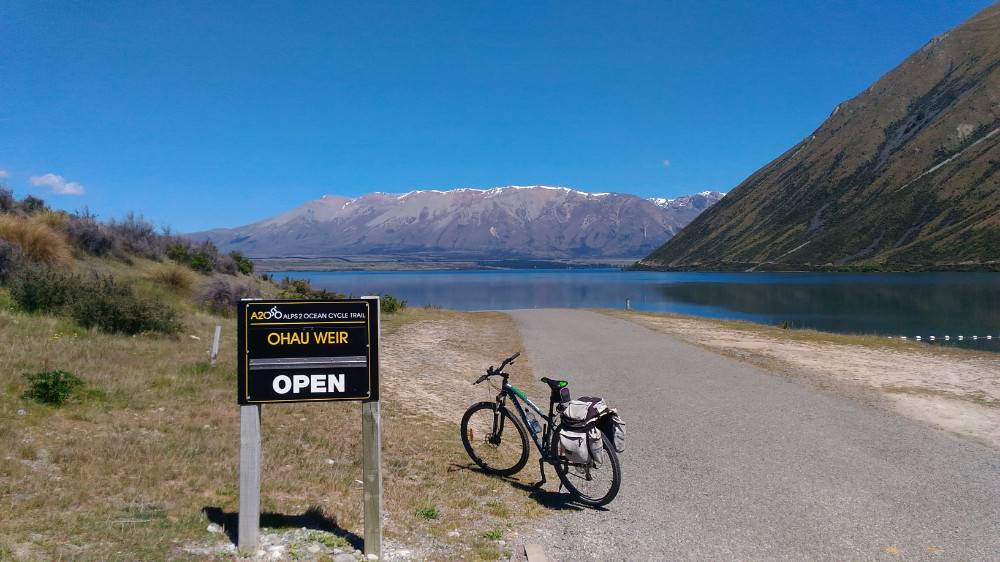
Another lake another set of snow capped mountains. You can't cross the wier if it is in flood. You have to go back 15klms and do the journey on a goat track. Lucky it was open.
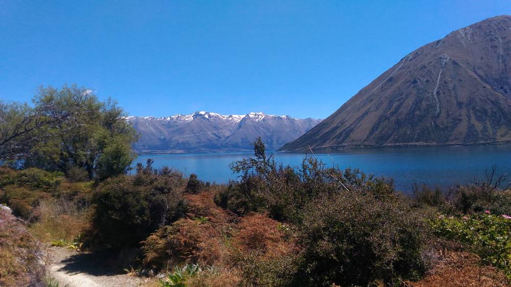
Ben Ohau on the right is quite imposing if not all that tall, on our way to Lake Ohau village.
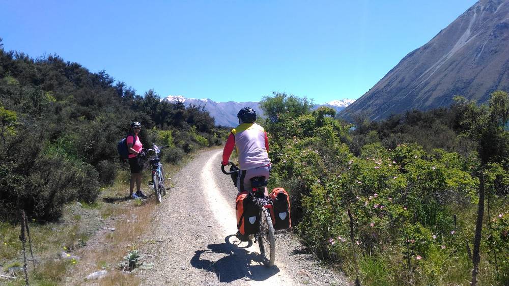
A fellow traveller who we saw a few times over a couple of days.
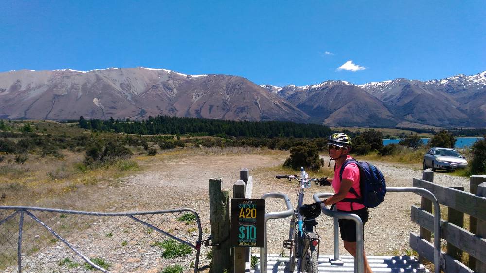
Travelling through one of the many "gates" along the trail. Brenda is clearly impressed with having to get off yet again. More snow capped mountains in the background. They are an enduring presence.
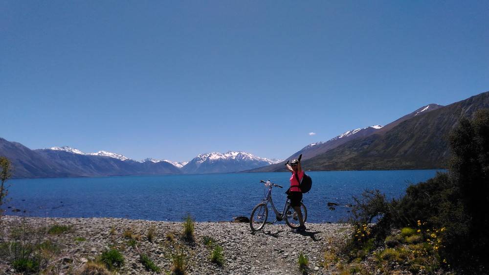
She did it! I am not sure what, but i think we got through a section of large shingle track if the stuff she is standing on is any indication. The stuff is everywhere.
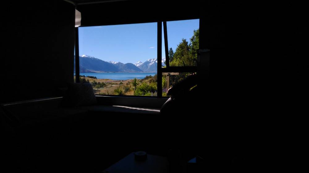
We get to our lodge which was clearly a place with nothing going for it but discovered that the view was all there was there. We imagined a little village with a couple of shops that stocked the necessities of life, eg beer, wine and chocolate. I rode up (about 5 klms) to Lake Ohau Lodge, a ski lodge which we would have stayed at had there been a vacancy when I booked. They did not sell anything either and it turns out it was not fully booked. We could have returned for what seemed an excellent evening meal, but it was all too hard, too expensive and we did not have any lights on our bikes if we stayed past 8.00pm which is the time the sun goes down.
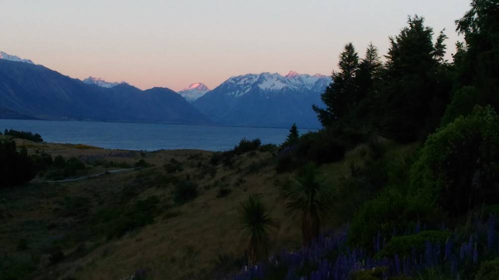
Instead we we left to contemplate the sun setting on Mt Something with our cheese and biscuits and some out of date instant noodles.
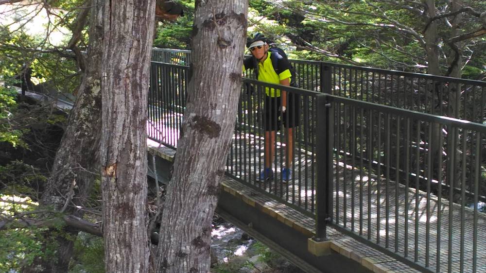
We have done the easy bit of about 5 klms where the track was only bad and in the foothills of the mountain. This creek signalled the change in terrain to the side of the mountain and it was about to get a whole lot worse.
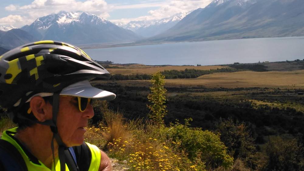
Shortly after, reality had not quite kicked in, the gradients were manageable and the track slowly worsening. The view was getting better all the time.
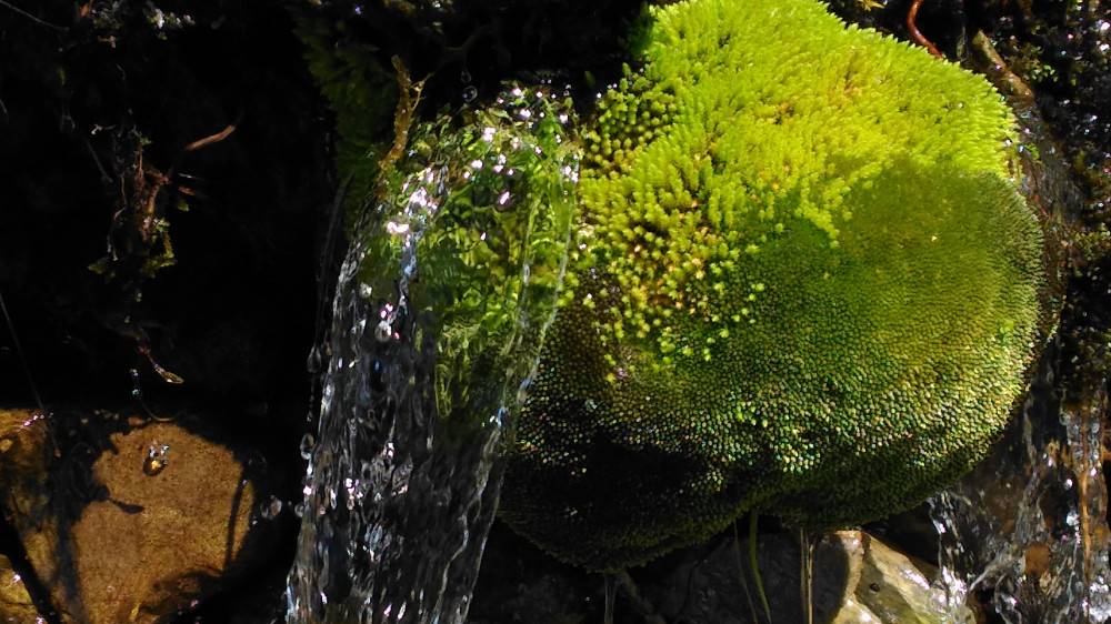
This crystal clear potable water was a result of melting snow above. As you can see by this moss covered rock, this stream is probably active for the whole of summer. At each of these little "creeks" the track is significantly washed away and the water is up to about 250mm deep.
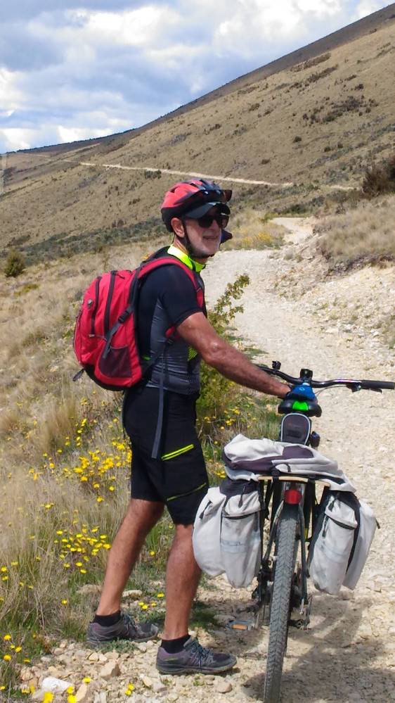
A relatively good section of track on a relatively shallow part of the moutain. You can see the track winding its way up the mountain in the background. What is hidden are the numerous ridges which the track follows, although it appears that it is one straight path.
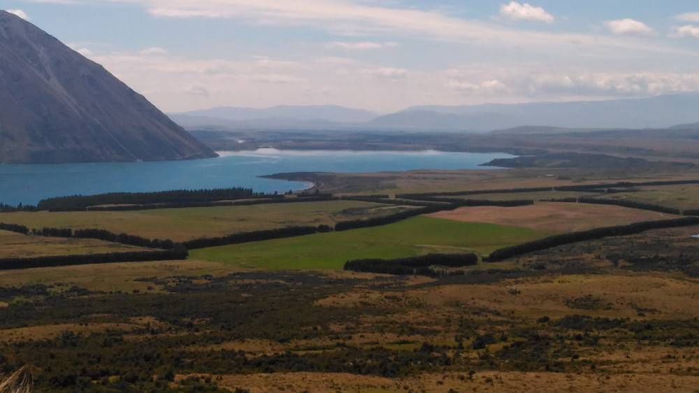
We are starting to get up there. The mountain on the left is Ben Ohau whichcan be seen in earlier shots.
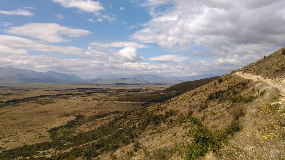
That is the trail on the left making its way around yet another ridge. It really is like a goat track at this point although not too many big rocks in this section. When the big rocks arrive we are both too pissed off to be taking photos of them.
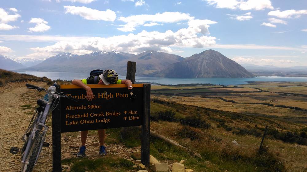
We finally come around the last bend, onto a short and flattish section and there is our trail high point. We had gone 18 klms at this point. Brenda was not keen to turn around and enjoy the view at this point. Ben Ohau on the right.
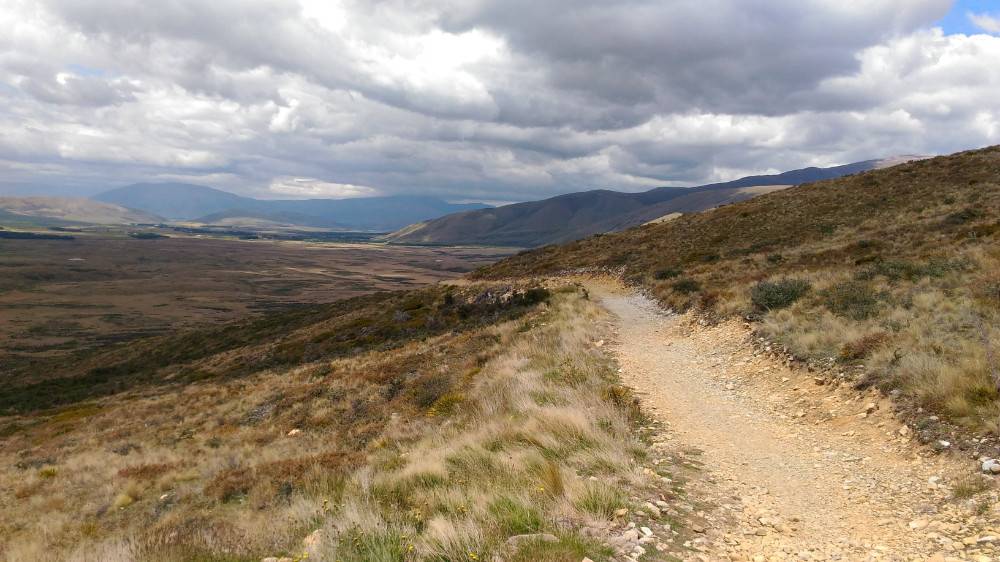
Now to navigate the downhill. It doesn't look too bad I say to Brenda. She wasn't convinced.
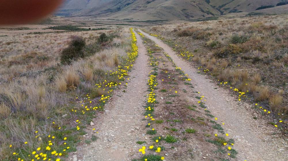
Almost at the bottom now. With my sunglasses on, this looked a little like a airport runway lit up to guide in aircraft.
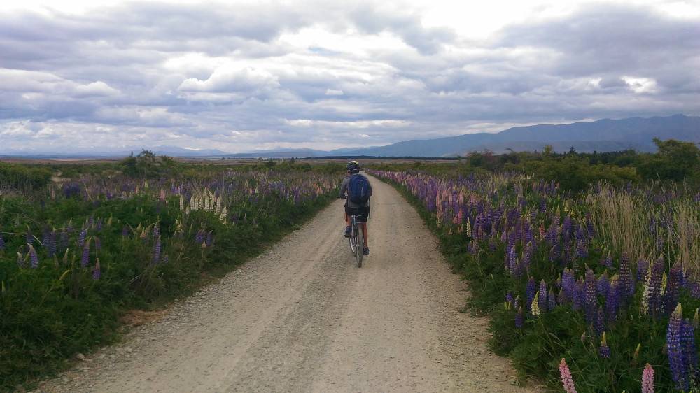
O-Oh. Don't tell me the dreaded gravel is back. The signs are not good.
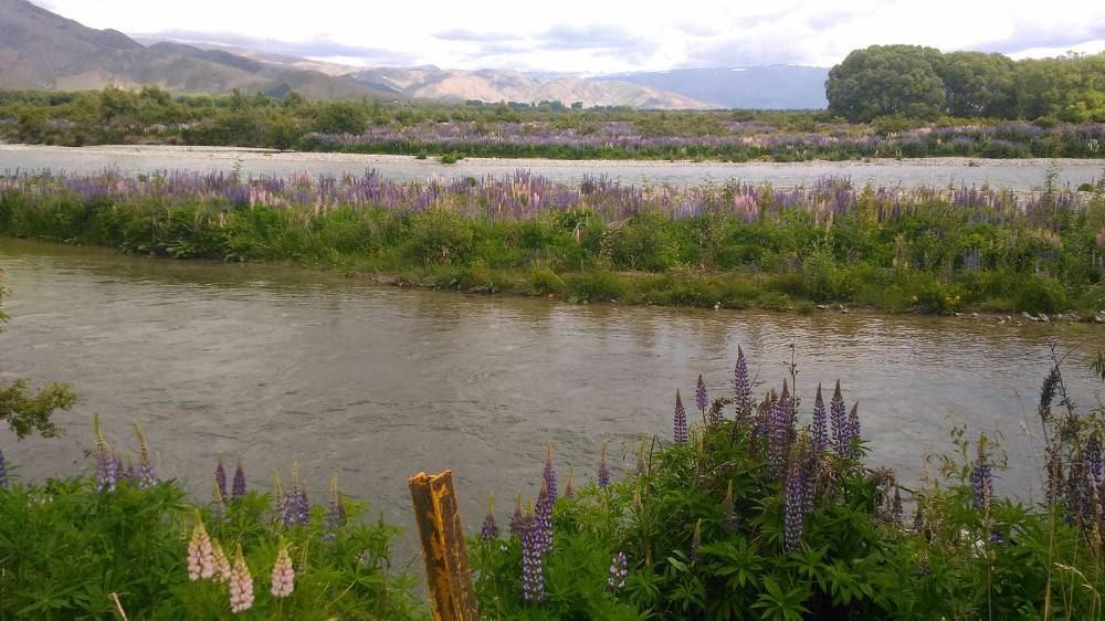
We are now in fishing territory. These rivulets and streams are extremely popular with fishermen, some using flys. Many of the rivers here are broken up into numerous smaller streams separated by river stones which can be made out on the far side of the partially obscured stream. The river stones (shingle) are everywhere - in all the rivers and of course mined for fences, housing and of course, trails. The mountains we just climbed are in the background and our motel is just up the road. Another 50 k done and dusted.